OCEAN COLOR Calculus Image IntegrationNASA MODIS-Aqua Satellite(fully coded)
Part 2-α9.0
Dara O Shayda
dara@compclassnotes.com
dara@compclassnotes.com
In[]:=
DateObject[]
Out[]=
Abstract
NASA’s Ocean Color satellites monoidal language is extended with multivariable integration and image segmentation. The image segmentation allows for integration over non-rectangular regions of interest in the satellite images. Content Addressable Memory system is now included in the monoid to reduce the usage of the assignment operator = . The satellite images are used as addresses to index the monoid’s return values.The monoidal language is an excellent training and teaching tool for teaching calculus and even functional analysis starting from STEM students to graduate students. Note: More of these live notebooks will be released for a variety of variables and ocean regions, notebooks become too large and therefore each variable requires a notebook of its own.
ceanolors[]
ceanolors[]

Software
Release: α8.0 .

Scripts: Symbolic computations performed in Wolfram Mathematica 14.3 .Notebook: https://www.wolframcloud.com/obj/ccn2/Published/Aqua_Modis_ocean_colors1.nb Support: Contact the author for additional code, bugs, correction in maths and algebraic/mathematical mistakes or invalid inferences.Nomenclature: Most functions and most identifiers start with lower case letters, all native vendor identifiers start with upper case. No Packaging: There is no software engineering applied to the code here nor elsewhere in the author’s technical notes to reduce the difficulties and version mismatches in future. The eager readers can simply copy paste the code or download and run the notebook. TODO: 1. Full JSON ASCII output support for third party Python, JS, C/C++/C# programs.2. Image derivatives are taken on the grey level version of the image, in case the derivatives ought to be taken for each channel.3. One or several Cloud Objects containing the file, its monoids and parametrizations with API Functions for external interactions.This is critical and urgent to allow for large number of variables and scans while the size of the live code notebook would remain small. 4. Login, authorization and Hash for time-stamping and copyrights. 5. Interim images and other related data and computations saved into cloud objects.6. Integration over an image ✓ 7. PDE solutions over one image and over a family of images.8. Wavelets9. Volumetric or 3D image versions and animation flip-books TOLEARN:1. Color maps that match the coloration of the ocean waters as seen by the satellites 2. Animate regions of oceans Known Issues:1.
© 2012-Present CCN StudiosCreative Commons Attribution-NonCommercial-ShareAlike 4.0

In[]:=
Notation`AutoLoadNotationPalette=False;Needs["Notation`"];ClearNotations[];CloudGet["https://wolfr.am/1BKwPgFcC"];ceanolors[]scan="AQUA_MODIS.20260208T003500.L2.OC.NRT.nc";
:scan's"attributes"

Out[]=
Version α9.0x,y,xy,yx,xx and yy are protected.,

Out[]=
{/,/geophysical_data,/geophysical_data/angstrom,/geophysical_data/aot_869,/geophysical_data/chlor_a,/geophysical_data/ipar,/geophysical_data/Kd_490,/geophysical_data/l2_flags,/geophysical_data/nflh,/geophysical_data/par,/geophysical_data/pic,/geophysical_data/poc,/geophysical_data/Rrs_412,/geophysical_data/Rrs_443,/geophysical_data/Rrs_469,/geophysical_data/Rrs_488,/geophysical_data/Rrs_531,/geophysical_data/Rrs_547,/geophysical_data/Rrs_555,/geophysical_data/Rrs_645,/geophysical_data/Rrs_667,/geophysical_data/Rrs_678,/navigation_data,/navigation_data/latitude,/navigation_data/longitude,/navigation_data/tilt,/processing_control,/processing_control/flag_percentages,/processing_control/input_parameters,/scan_line_attributes,/scan_line_attributes/clat,/scan_line_attributes/clon,/scan_line_attributes/csol_z,/scan_line_attributes/day,/scan_line_attributes/detnum,/scan_line_attributes/elat,/scan_line_attributes/elon,/scan_line_attributes/msec,/scan_line_attributes/mside,/scan_line_attributes/slat,/scan_line_attributes/slon,/scan_line_attributes/time,/scan_line_attributes/year,/sensor_band_parameters,/sensor_band_parameters/aw,/sensor_band_parameters/bbw,/sensor_band_parameters/F0,/sensor_band_parameters/k_no2,/sensor_band_parameters/k_oz,/sensor_band_parameters/Tau_r,/sensor_band_parameters/vcal_gain,/sensor_band_parameters/vcal_offset,/sensor_band_parameters/wavelength}
In[]:=
:"/geophysical_data/chlor_a"'s"long_name"
Out[]=
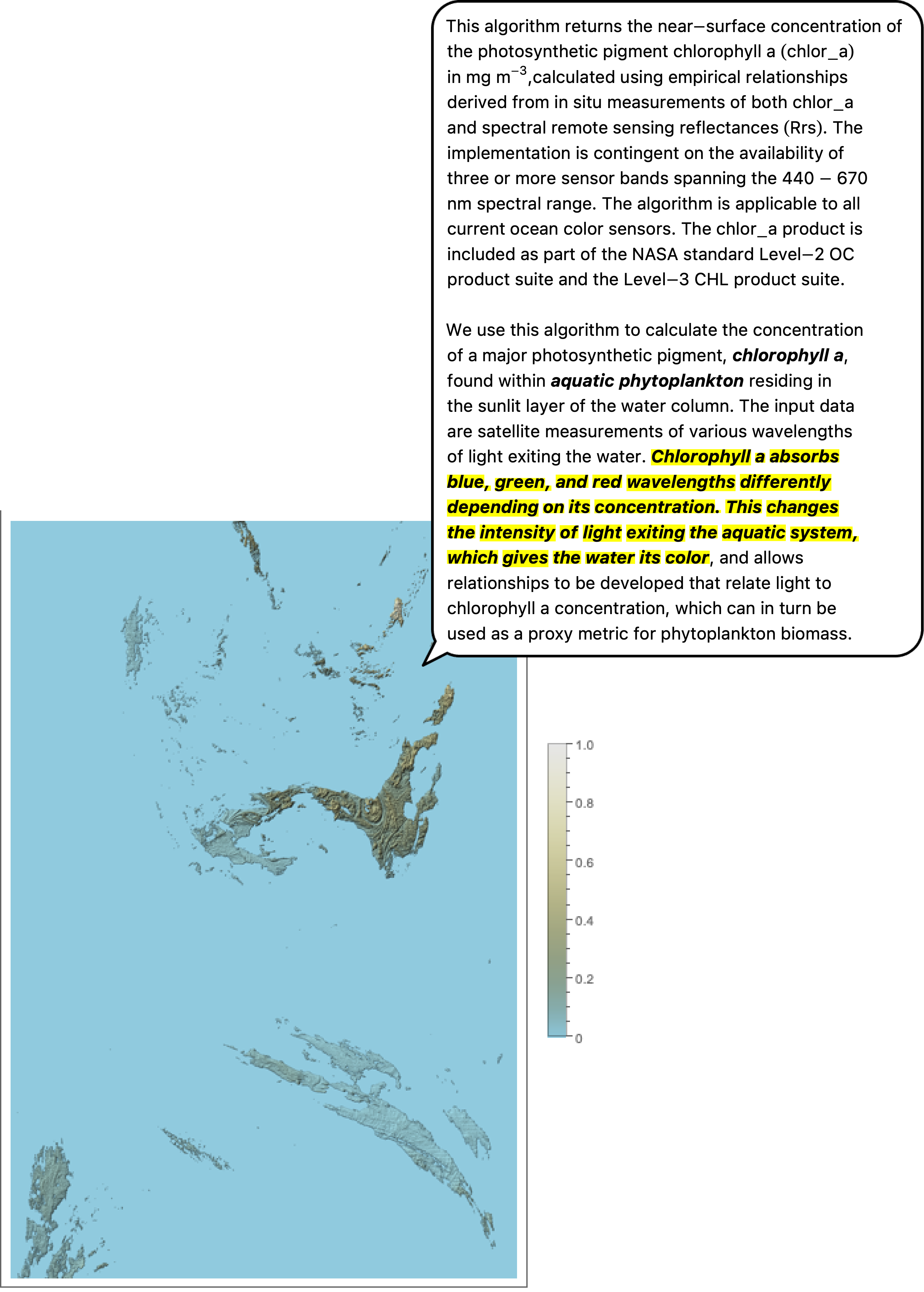
Chlorophyll Concentration, OCI Algorithm
In[]:=
:"/geophysical_data/chlor_a"'s"reference"
Out[]=
Hu, C., Lee Z., and Franz, B.A. (2012). Chlorophyll-a algorithms for oligotrophic oceans: A novel approach based on three-band reflectance difference, J. Geophys. Res., 117, C01011, doi:10.1029/2011JC007395.
In[]:=
:scan's"/geophysical_data/chlor_a"
Out[]=
attributes,map,globe,polygon,range,image0,image0 small,image,image small,SVG raw,SVG,relief,data,mask,mask small,cluster,filter,,,,,,,
,


x
y
xy
yx
xx
yy

What is “/geophysical_data/chlor_a” ?
Out[]=