In[]:=
EntityClassWithNoMissingProperties//ClearAllEntityClassWithNoMissingProperties[class_,property_]:=FilteredEntityClass[class,EntityFunction[element,And@@(!MissingQ[#]&/@EntityValue[element,property])]]
In[]:=
BorderingMap//ClearAllBorderingMap[class_,property_,color_:ColorData[106,"ColorList"],options:OptionsPattern[GeoRegionValuePlot]]:=Block[{classfiltered,polygons,entities},classfiltered=EntityClassWithNoMissingProperties[class,{"Polygon",property}];GeoRegionValuePlot[Thread[EntityValue[classfiltered,"Polygon"]->FindVertexColoring[RelationGraph[MemberQ[#1][#2[property]]&,EntityValue[classfiltered,"Entities"]],color]]]]/;MemberQ[property][EntityValue[class,"Properties"]]∨MemberQ[property][CanonicalName/@EntityValue[class,"Properties"]]
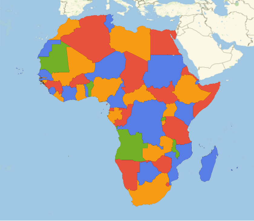
Make a map of countries in Africa following the four color theorem rules:
In[]:=
BorderingMap,"BorderingCountries"

Out[]=
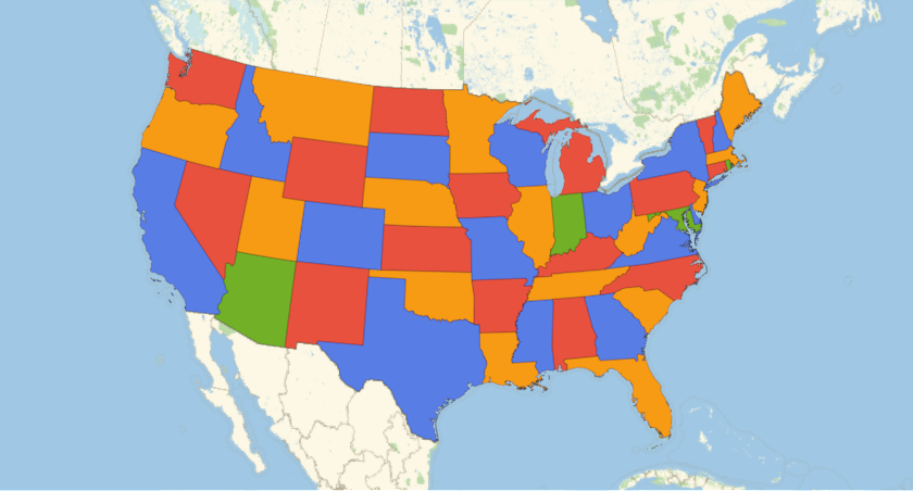
Make a map of the contiguous US states and the district of Columbia:
In[]:=
AlaskaAndHawaiiClass=FilteredEntityClass"AdministrativeDivision",EntityFunctionstate,EntityValuestate,=="Alaska, United States"||EntityValuestate,=="Hawaii, United States";
AllUSStatesWithDC=;
ContiguousUSStatesWithDCClass=ComplementedEntityClass[AllUSStatesWithDC,AlaskaAndHawaiiClass];
In[]:=
BorderingMap[ContiguousUSStatesWithDCClass,"BorderingStates"]
Out[]=
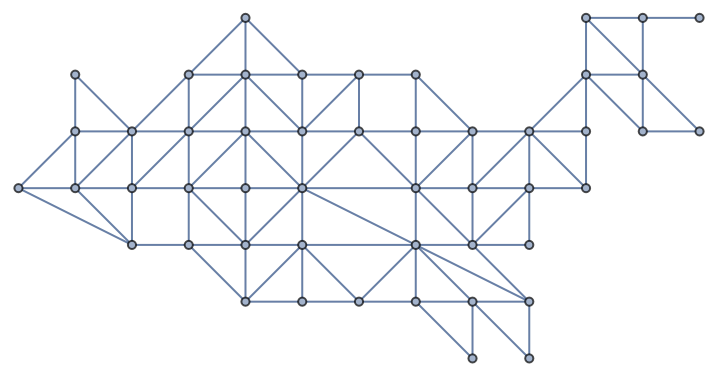
This graph is also available as
In[]:=
GraphData["ContiguousUSAGraph"]
Out[]=
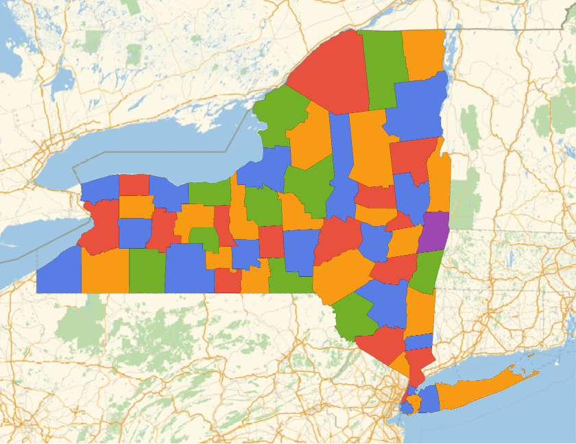
Make a map of the counties of New York:
In[]:=
BorderingMap,"BorderingCounties"
Out[]=
Continents
Continents
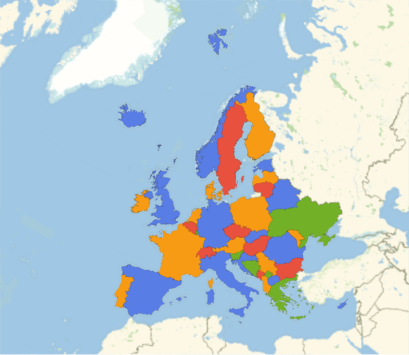
Make a map of Europe:
In[]:=
BorderingMap,"BorderingCountries"
Out[]=
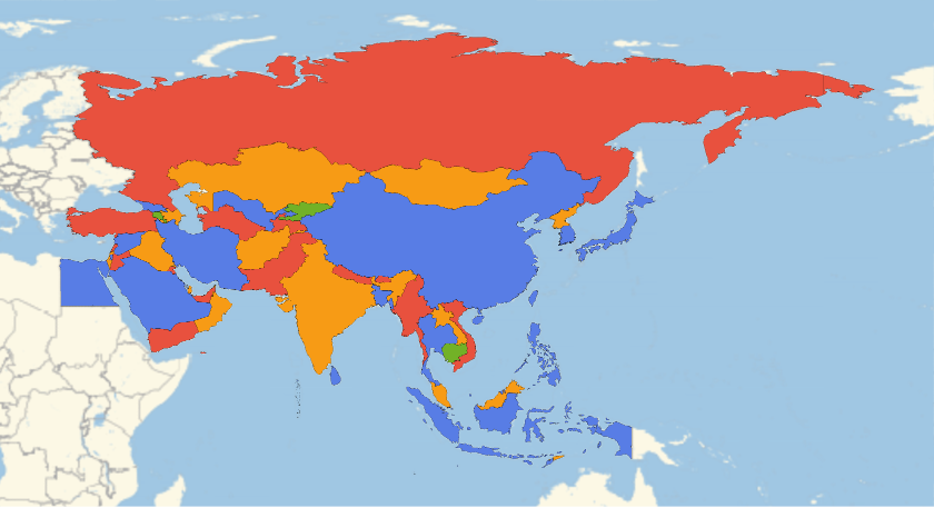
Make a map of Asia:
In[]:=
BorderingMap,"BorderingCountries"
Out[]=
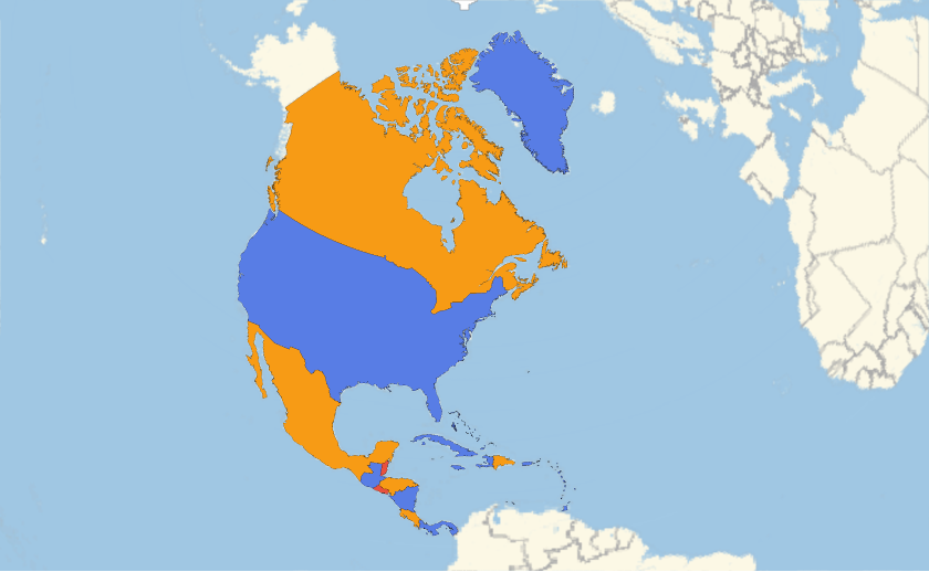
Make a map of North America:
In[]:=
BorderingMap,"BorderingCountries"
Out[]=
Make a map of South America: