CITE THIS NOTEBOOK: Analyzing Airbus aircraft and airplanes by Peter Burbery. Wolfram Community DEC 22 2022.
In[]:=
EntityRegister[ResourceData["https://www.wolframcloud.com/obj/burbery1/DeployedResources/Data/Airbus-Aircraft-Data/"]]
Out[]=
{Airbus}
In[]:=
EntityList["Airbus"]
Out[]=
,,,,,,,,,,,,,,,,,,
In[]:=
DeleteMissing@["PropertyAssociation"]
Out[]=
,,10 LD3-45W,,,,,,10,,,,,A321neo,,,,,,,
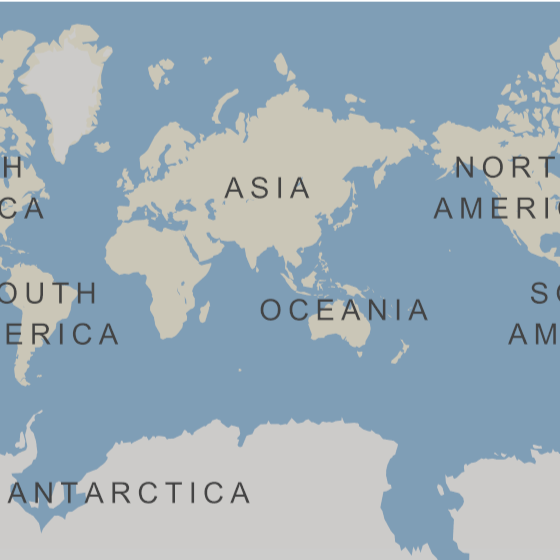
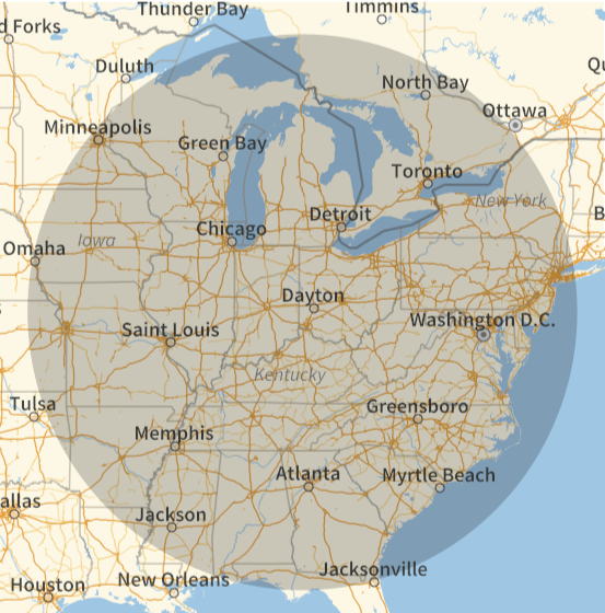
Analyze how far I could fly from Cincinnati International Airport.
In[]:=
GeoDisk,
Quantity[20000,"Kilometers"]
Out[]=
GeoDisk,
In[]:=
GeoGraphicsGeoDisk,
Quantity[20000,"Kilometers"]
Out[]=
In[]:=
GeoGraphicsGeoDisk,
Quantity[1,"Megameters"]
Out[]=
make a class for the A320 family:
In[]:=
A320Family=,,,,,
Out[]=
,,,,,
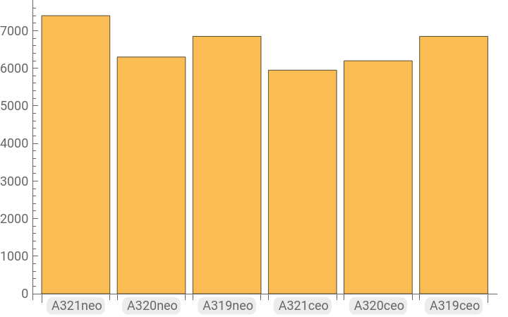
Plot the ranges:
In[]:=
BarChart[EntityValue[A320Family,"range","EntityAssociation"],ChartLabels->Automatic]
Out[]=
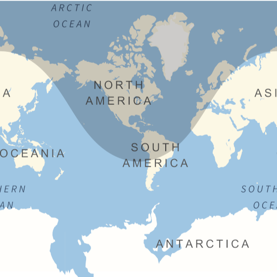
Plot how far you could get:
In[]:=
GeoGraphicsGeoDisk,["range"]
Out[]=
In[]:=
GeoGraphicsTableGeoDisk,n["range"],{n,A320Family},ImageSize->Full
Out[]=
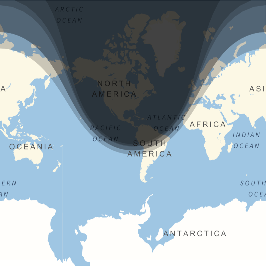
Find the aircraft with the longest range:
Make a map:
Find cities in the region that I couldn’t reach:
Hmm, for some reason this doesn’t work.
Find the area of the disk:
Compare to the surface area of the Earth: