Basic Examples 
(3)
 

In[45]:=
ds=ResourceData

Out[45]=
venue
location
Yves du Manoir Stadium
48.93°N 2.248°E
Stade de France
48.92°N 2.36°E
Paris La Défense Arena
48.9°N 2.23°E
Porte de La Chapelle Arena
48.9°N 2.361°E
Paris Aquatic Centre
48.92°N 2.355°E
Le Bourget Climbing Venue
48.94°N 2.419°E
Arena Paris Nord
48.97°N 2.521°E
Parc des Princes
48.84°N 2.253°E
Stade Roland Garros
48.85°N 2.25°E
South Paris Arena
48.86°N 2.352°E
Bercy Arena
48.84°N 2.378°E
Grand Palais
48.87°N 2.312°E
Place de la Concorde
48.87°N 2.321°E
Hôtel de Ville
48.86°N 2.352°E
Pont Alexandre III
48.86°N 2.314°E
Trocadéro (Pont d'Iéna)
48.86°N 2.292°E
Eiffel Tower Stadium (Champ de Mars)
48.86°N 2.294°E
Grand Palais Éphémère
48.85°N 2.302°E
Les Invalides
48.86°N 2.313°E
Gardens of the Palace of Versailles
48.8°N 2.12°E
rows 1–20 of 39
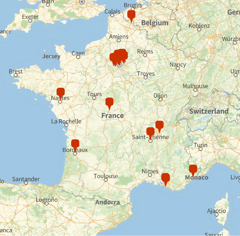
Map the venues:
In[46]:=
GeoGraphicsGeoMarker[ds[All,"location"]],GeoRange->
France
COUNTRY

Out[46]=
Get a specific venue:
In[47]:=
venue=ds[Select[StringContainsQ[#venue,"Eiffel"]&]]
Out[47]=
venue
location
Eiffel Tower Stadium (Champ de Mars)
48.86°N 2.294°E
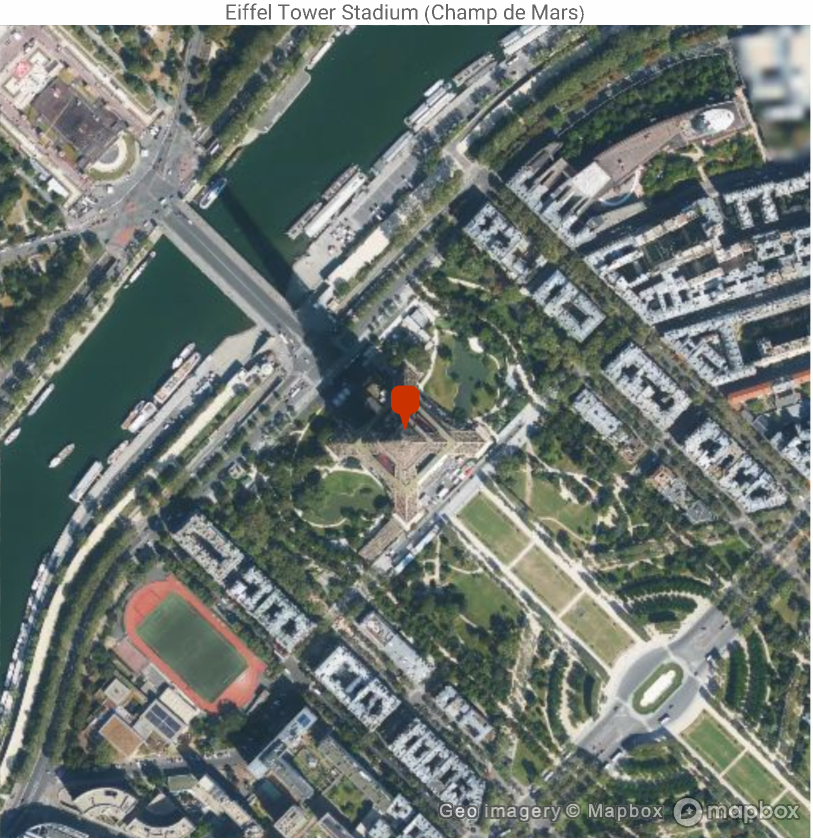
Make a satellite map of the area near the Eiffel Tower:
In[48]:=
GeoGraphics[GeoMarker[venue[1,"location"]],GeoRange->Quantity[0.25,"Miles"],GeoBackground->"Satellite",PlotLabel->venue[1,"venue"]]
Out[48]=