Ever since the start of the Cold War the United States has kept records of UFOs (Unidentified Flying Objects). More recently, UFOs have been reclassified under the more general term of UAPs (Unidentified Anomalous Phenomena). The National Archives Catalog contains a large dataset of photographic records of UAPs. Many of them are obviously silly and fake, and the remainder of the photographs are too blurry or the objects too tiny to be conclusive of anything. So with decades of data it’s pretty clear that no aliens have yet been detected on Earth.

Two things have changed since the 1950s: First, the number of (phone and dash) cameras has skyrocketed so the ability to detect aliens on Earth has massively increased. As a result we now frequently see pictures and videos of meteors, which are certainly interesting, but not proof of anything alien. We also regularly see videos of debris from rocket reentries. And occasionally, there are images and videos from weather balloons and radio sondes.
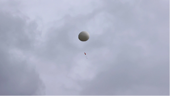
To help reduce the number of UAPs, there is a nice web site called SondeHub which tracks weather balloons around the world. It is an open-source platform designed for the real-time tracking and data aggregation of radiosondes—weather balloons typically launched by national meteorological services.
To help make this data computable in the Wolfram Language, I created a new paclet called SondeHubLink. This paclet connects to the SondeHub API and lets you list radiosonde launch sites and recently launched sondes.
To install this paclet in your Wolfram Language environment, evaluate this code:
In[]:=
PacletInstall[ResourceObject["https://wolfr.am/1EiXlGEo0"]]
Out[]=
PacletObject

To load the code after installation, evaluate this code:
In[]:=
Needs["ArnoudBuzing`SondeHubLink`"]
You can retrieve a comprehensive dataset of all radiosonde launch sites worldwide with the SondeHubSites function:
In[]:=
sites=SondeHubSites[]
Out[]=


You can randomly select one site:
In[]:=
site=RandomChoice[sites]
Out[]=
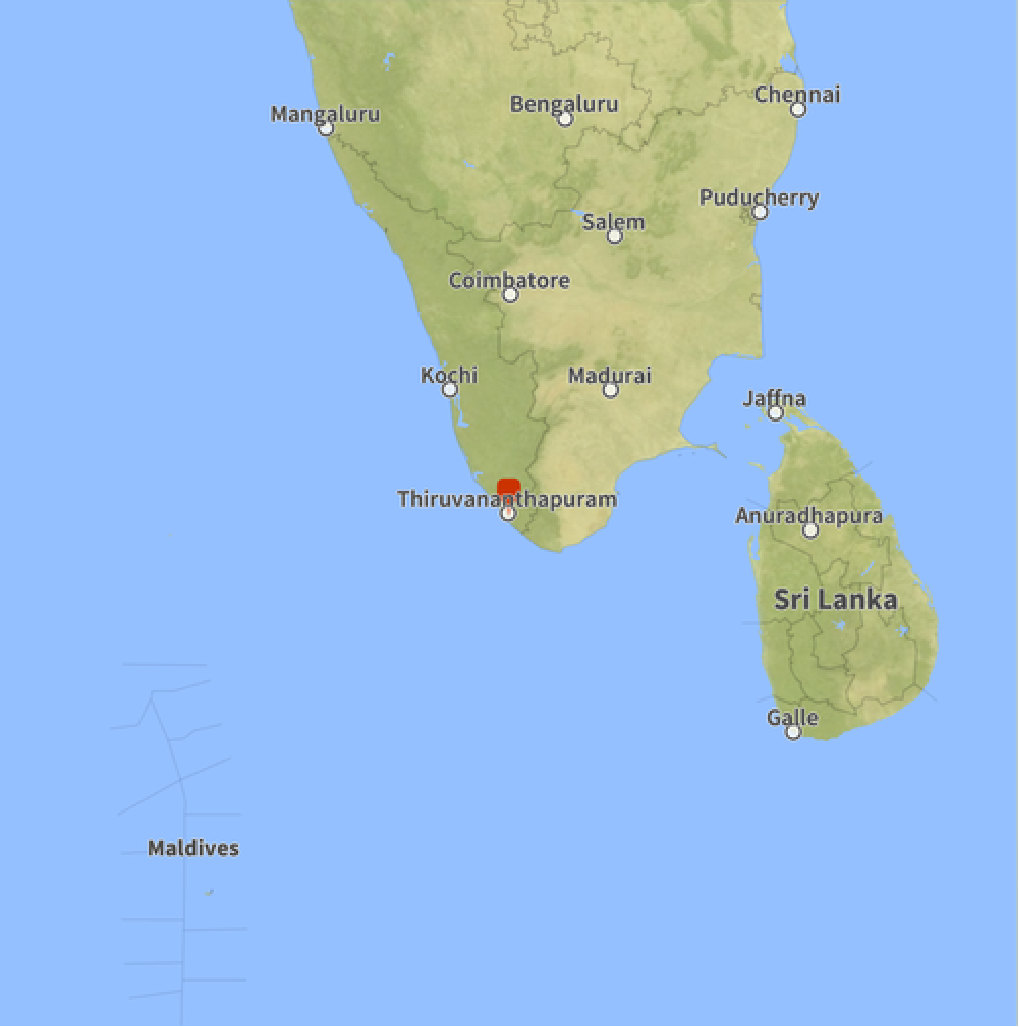
And map it with GeoGraphics:
In[]:=
GeoGraphics[GeoMarker[GeoPosition[Reverse@Normal@site["position"]]],GeoRange->Quantity[400,"Miles"]]
Out[]=
Similarly you can fetch real-time telemetry data for all active radiosondes and high-altitude balloons currently being tracked globally:
In[]:=
sondes=SondeHubSondes[]
Out[]=
And you can examine details of one randomly chosen sonde:
Finally, you can use SondeHubGraphics to map recent sondes for a certain area. For example, if you want to keep tabs on the area around Area 51 you would do
This tools makes it easy to track radiosondes around the world and hopefully can dismiss claims of UAPs that have been observed in the same area and timespan. The likelihood of detecting alien life on Earth seems slim, but you never know! Keep your cameras at the ready... The truth is out there 😉
CITE THIS NOTEBOOK
CITE THIS NOTEBOOK
Aliens? Or weather balloons? You decide!
by Arnoud Buzing
Wolfram Community, STAFF PICKS, May 15, 2026
https://community.wolfram.com/groups/-/m/t/3716185
by Arnoud Buzing
Wolfram Community, STAFF PICKS, May 15, 2026
https://community.wolfram.com/groups/-/m/t/3716185