1st example
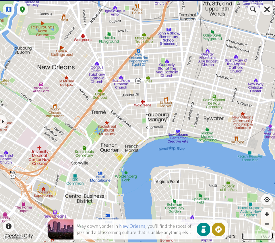
1st example
screenshot from https://mapcarta.com/New_Orleans/Map
In[]:=
GeoGraphicsGeoDisk,
Out[]=
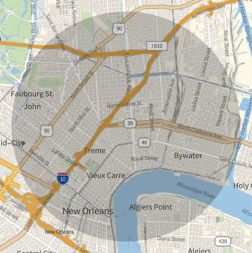
Normal plot (incorrect north - south axis)
Normal plot (incorrect north - south axis)
In[]:=
ListPlot3DGeoElevationDataGeoDisk,
Out[]=

Reversed axis (correct)
Reversed axis (correct)
In[]:=
ListPlot3DGeoElevationDataGeoDisk,,ScalingFunctions->"Reverse"
Out[]=

2nd example
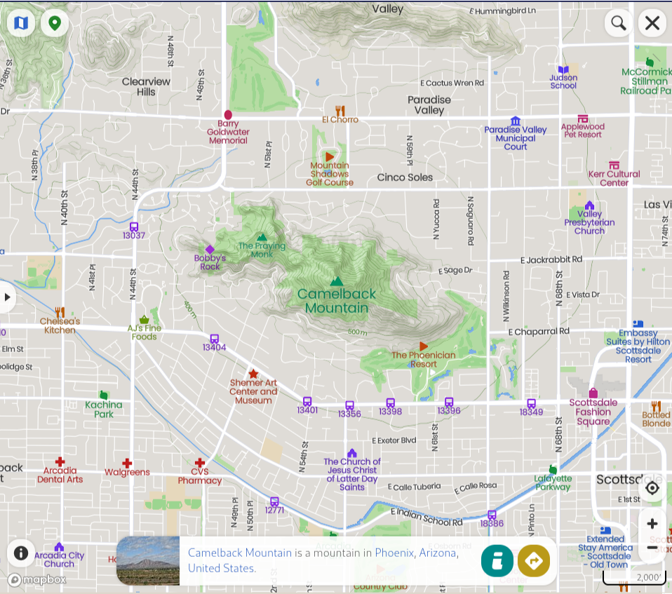
2nd example
screenshot from https://mapcarta.com/22922032/Map
In[]:=
GeoGraphicsGeoDisk,
Out[]=
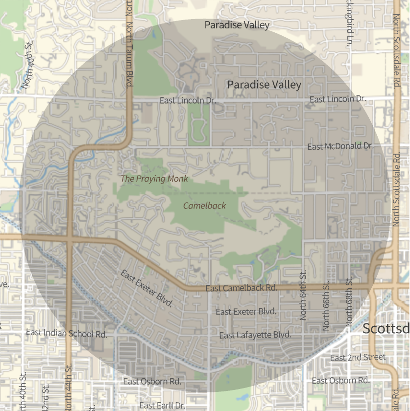
Normal plot (incorrect north - south axis)
Normal plot (incorrect north - south axis)
Reversed axis (correct)
Reversed axis (correct)