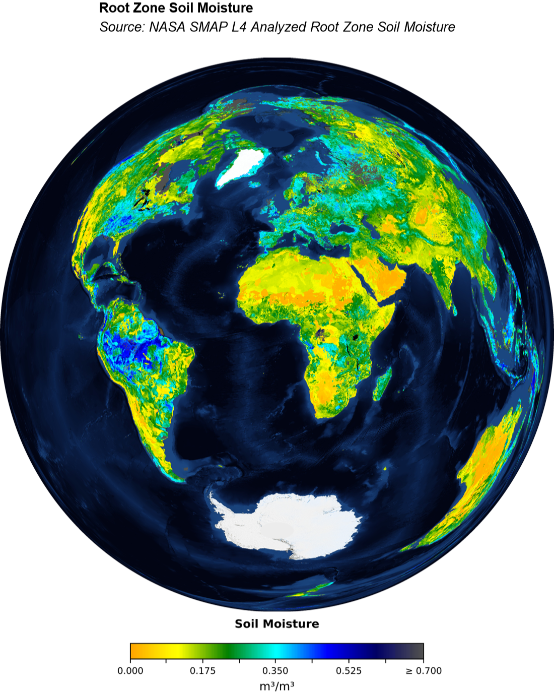
Saturday, 22 March 2025 was World Water Day, so I thought I’d share this world map of Root Zone Soil Moisture I made recently from NASA SMAP L4 Data. This data product provides global estimates of soil moisture in the top 1 meter of the soil column, supporting agriculture, hydrology, and climate studies.
Install the RemoteSensing paclet:
PacletInstall["PhileasDazeleyGaist/RemoteSensing"]
Out[]=
PacletObject

Load the RemoteSensing paclet:
In[]:=
Needs["PhileasDazeleyGaist`RemoteSensing`"]
Produce a raster map of NASA SMAP L4 Analyzed Root Zone Soil Moisture data using the Lambert Azimuthal projection:
soilMoistureLayer=GeoImage["World",GeoServer->GIBSGeoServer["SMAP_L4_Analyzed_Root_Zone_Soil_Moisture"],GeoZoomLevel->4,GeoProjection->"LambertAzimuthal",RasterSize->3*1280,ImageSize->Tiny]
Out[]=
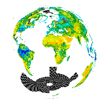
The requested GeoImage covers areas for which there are no available data, causing a checkerboard pattern to appear around the poles, where the data are missing. Fortunately, this is easy to clean up.
Create a mask around the missing tiles in the resulting image:
In[]:=
mask=
;
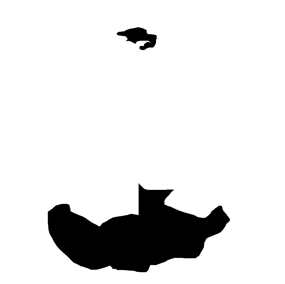
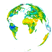
Use the mask to clean up the image:
cleanedSoilMoistureLayer=RemoveBackground[ColorReplace[ImageMultiply[soilMoistureLayer,mask],Black->White],White]//Image[#,ImageSize->Tiny]&
Out[]=
finalMap=Labeled[Image[ImageCompose[GeoImage["World",GeoZoomLevel4,GeoProjection"LambertAzimuthal",RasterSize3*1280],cleanedSoilMoistureLayer],ImageSizeLarge],{Column[{Text[Style["Root Zone Soil Moisture",{16,Bold}]],Text[Style["Source: NASA SMAP L4 Analyzed Root Zone Soil Moisture\n",{16,Italic}]]}],Image[Import["https://gibs.earthdata.nasa.gov/legends/SMAP_Analyzed_Soil_Moisture_H.svg"],ImageSizeMedium]},{Top,Bottom}]
Out[]=
CITE THIS NOTEBOOK
CITE THIS NOTEBOOK
Global map of NASA SMAP L4 root zone soil moisture
by Phileas Dazeley-Gaist
Wolfram Community, STAFF PICKS, March 24, 2025
https://community.wolfram.com/groups/-/m/t/3431342
by Phileas Dazeley-Gaist
Wolfram Community, STAFF PICKS, March 24, 2025
https://community.wolfram.com/groups/-/m/t/3431342