It’s not often that I hear about meteor reports from my non-astronomer friends in Indiana, but in this case, even my family let me know about it. At about 8:45 PM EDT, many people in north central Indiana heard a loud boom and some even saw a flash in the sky. In fact, my parents in Madison County Indiana, shown in blue below, said their house shook!
In[]:=
GeoGraphicsGeoStyling[Blue],Polygon,GeoRange->
Out[]=
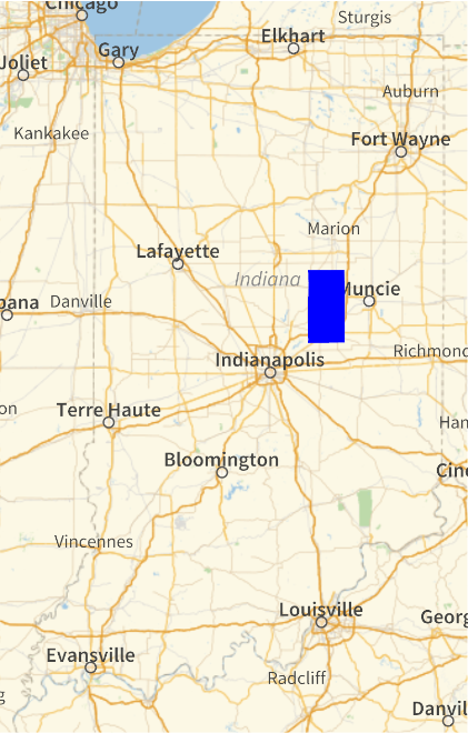
Due to cloud cover, which hampered detailed data collection, few observers knew what the culprit was. The flash was bright enough that satellite based lightning detectors even picked up a signal over Carroll County, Indiana, highlighted in blue here:
GeoGraphicsGeoStyling[Blue],Polygon,GeoRange->
Out[]=
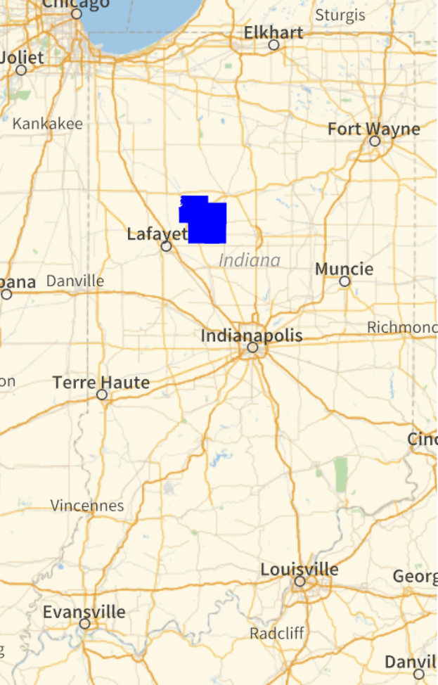
The consensus is that this was a fireball meteor that exploded or created a sonic boom as it entered the atmosphere. The American Meteor Society (AMS) collects reports on such events and the data for this specific even can be imported as follows:
In[]:=
data=Quiet[Import["https://www.amsmeteors.org/members/imo_kml/view_trajectory_kml?event_id=2268&event_year=2023&avg_start_height=80000&avg_end_height=47029.584689802&impact_location_lon=-86.762285513093&impact_location_lat=40.309516974406&end_visible_location_lon=-86.33613702574&end_visible_location_lat=40.310298776768&start_visible_location_lon=-86.037396148512&start_visible_location_lat=40.308300564074","Data"],{MapThread::mptc}];
Witnesses
Witnesses
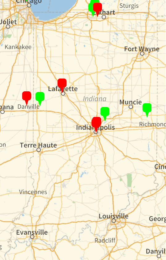
First we want to plot the location of the observers that submitted data. Users of different experience levels can be extracted as follows:
In[]:=
witnesses1="Geometry"/.Cases[data,{"LayerName"->"Witnesses\\Experience Level 1",__}][[1]];
In[]:=
witnesses2="Geometry"/.Cases[data,{"LayerName"->"Witnesses\\Experience Level 2",__}][[1]];
In[]:=
witnesses3="Geometry"/.Cases[data,{"LayerName"->"Witnesses\\Experience Level 3",__}][[1]];
Experience levels 1 and 2 are lumped together under the green markers, while the level 3 observers are shown in red:
In[]:=
GeoGraphics{witnesses1/.Point[x_]:>GeoMarker[x,"Color"->Green],witnesses2/.Point[x_]:>GeoMarker[x,"Color"->Green],witnesses2/.Point[x_]:>GeoMarker[x,"Color"->Red]},GeoRange->
Out[]=
Trajectory
Trajectory
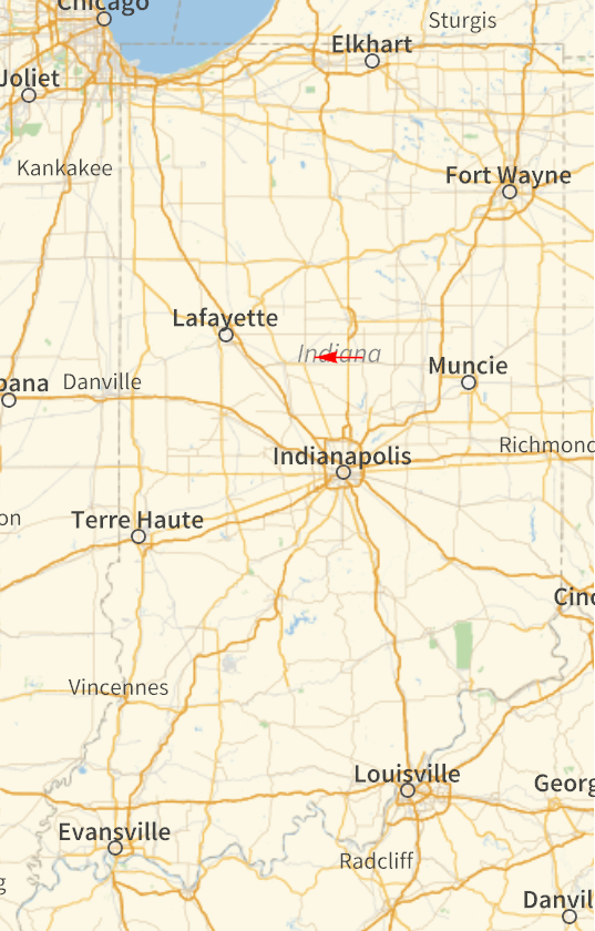
With the observations from all of the submitted reports, an estimated trajectory can be constructed. In general, the meteor was traveling from the East and headed West, shown by a red arrow below:
In[]:=
trajectory=Cases["Geometry"/.Cases[data,{"LayerName"->"Trajectory",__}][[1]],_Polygon,Infinity];
In[]:=
GeoGraphics{Red,trajectory/.Polygon->Arrow},GeoRange->
Out[]=
Its always fun to analyze real world data from around you own home town, especially if its astronomical in nature! No reports of meteorites that I’ve heard so far, but I’m still digging for more information. Fun!
CITE THIS NOTEBOOK
CITE THIS NOTEBOOK
Meteor Explosion Over North Central Indiana - 4/21/2023
by Jeff Bryant
Wolfram Community, STAFF PICKS, April 23 2023
https://community.wolfram.com/groups/-/m/t/2904026
by Jeff Bryant
Wolfram Community, STAFF PICKS, April 23 2023
https://community.wolfram.com/groups/-/m/t/2904026