1. How can my original code be modified to use vector graphics (GeoBackground -> "VectorClassic")?
In[]:=
GeoGraphicsGeoStyling["StreetMapNoLabels"],GeoDisk["Coordinates"],Quantity[10,"Kilometers"],GeoRangePaddingNone,GeoBackgroundNone,ImageSize{400,400}
Out[]=
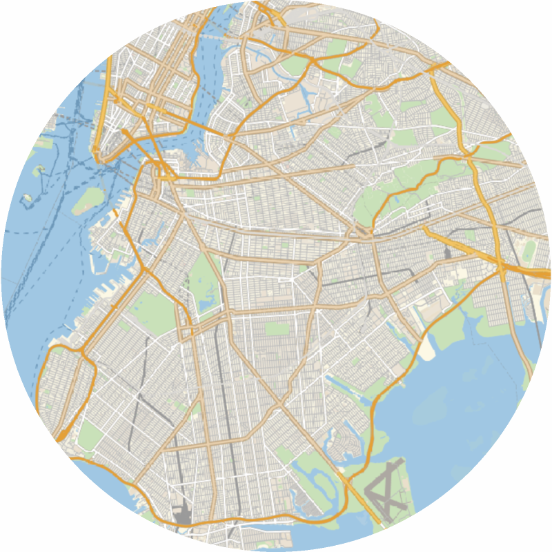
2. Continuing the previous question. Can I know how many kinds of label objects(such as roads, buildings or grass) in the vector map? Can I choose to delete or keep either?
In[]:=
g=GeoGraphics,GeoBackground"VectorClassic",GeoRangeQuantity[10,"Kilometers"],GeoRangePaddingNone,ImageSize{400,400}
Out[]=
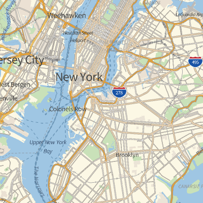
In[]:=
Are there any other options besides text?
In[]:=
DeleteCases[g,_Text,All]
Out[]=
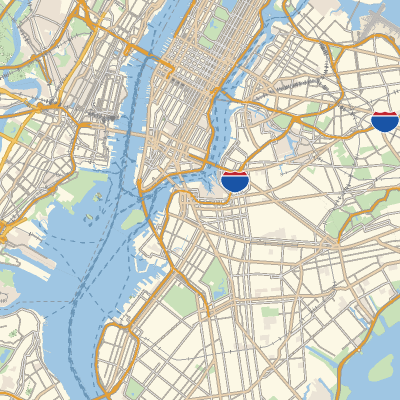
In[]:=
3. Can I quantify the proportions of these label objects (e.g. counts, area, or road length) in the vector map?